Eastern Washington
Updated October 3, 2026
Eastern Washington runs from the wheat country of Adams and Lincoln counties east to Spokane and the Idaho line, south through the rolling Palouse to Pullman, and north into the forested Selkirk Mountains and the Pend Oreille country. Spokane, the state’s second largest city, is its center.
7 counties: Adams · Ferry · Lincoln · Pend Oreille · Spokane · Stevens · Whitman
See all six regions on the map
Seven counties make up the region on the state road map: Adams, Ferry, Lincoln, Pend Oreille, Spokane, Stevens and Whitman. That puts Spokane, Pullman and Cheney in the same region as the Palouse, Lake Roosevelt and the mountain lakes of the northeast corner.
Use this page as the index. If you know where you are headed, start with a town guide. If you are going somewhere smaller, scroll down to the towns without a guide of their own, where every coffee shop, market, museum, golf course and local business we list is filed under its town.
What Eastern Washington is known for
Riverfront Park and Spokane Falls
The site of Expo ’74, built around the falls of the Spokane River right in downtown, with a gondola over the water.
Visit Riverfront ParkManito Park
Spokane’s formal gardens on the South Hill: a Japanese garden, a rose garden and a conservatory, free to walk.
Visit Manito ParkThe Palouse
Rolling wheat hills that change color with the seasons. Steptoe Butte is the classic viewpoint over them.
Explore the PalouseLakes around Spokane
Dozens of lakes within an hour of the city for paddling, fishing and swimming.
Find a lake near SpokaneMount Spokane
The state park and ski area half an hour from downtown, with summer trails and long views.
Spend a day at Mount SpokaneThe Pend Oreille country
Forested river valley in the northeast corner, best seen from the river and the Selkirk foothills.
Ride the Pend Oreille river trainGreen Bluff
A farm loop north of Spokane with u pick fruit, cider and pumpkin patches from summer into fall.
Visit Green BluffFort Spokane and Lake Roosevelt
An old army fort on the long reservoir behind Grand Coulee Dam, with beaches and campgrounds along the shore.
Spend a day at Fort SpokaneWhen to go
Spring
Green wheat on the Palouse, lilacs in Spokane and waterfalls running high.
Summer
Lake season in every direction from Spokane, and golden hills on the Palouse before harvest.
Fall
Harvest on the Palouse, apples and pumpkins at Green Bluff, and larches turning in the northeast mountains.
Winter
Skiing at Mount Spokane and 49 Degrees North, and the holiday lights in downtown Spokane.
Getting around
- By car: I-90 crosses the region to Spokane and the Idaho line. US 395 runs north to Colville and Kettle Falls, and US 195 runs south to Colfax and Pullman.
- By air: Spokane International is the main airport, and Pullman Moscow Regional serves the Palouse.
- By train: Amtrak’s Empire Builder stops in Spokane.
- Before you go: winter driving, smoke and fire closures change plans here. Check our conditions page first.
Eastern Washington town guides

Pullman
Where rolling wheat fields stretch to every horizon and Cougar spirit fills every corner of downtown, Pullman…
2 listings in our directories
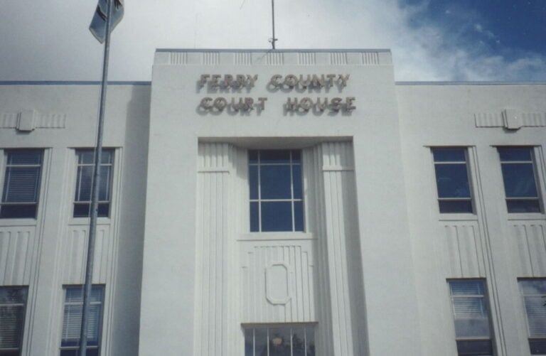
Republic
Washington's fossil capital, where you can dig your own 50 million year old plant impressions in the morning…
2 listings in our directories
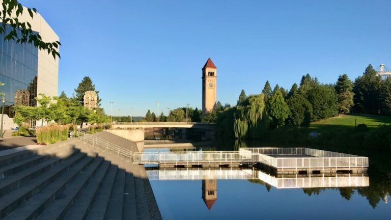
Spokane
Washington's second largest city built itself where the Spokane River drops through basalt canyon in a…
33 listings in our directories
Locals on the podcast
Conversations from the Exploring Washington State Podcast with people who live here.
- Brian Muegge’s Spokane: the city from a local.
- Spokane built the Dodgers dynasty: the city’s place in baseball history.
- The 1946 Spokane Indians: a team story the city never forgot.
- Silver Bow Fly Shop: fly fishing around Spokane.
- Dry Fly Distilling: craft spirits from Spokane’s farmland.
- Liberty Ciderworks: cider made in Spokane.
Eastern Washington towns
These towns do not have a full guide yet. Everything we list in each one is right here, grouped by county.
Adams County
Lind
Othello
- Othello Golf Course Golf course
Ritzville
- Frank R. Burroughs Home Museum Museum
- NP Railroad Depot Museum Museum
- Ritzville Golf Course Golf course
Ferry County
Curlew
- Husky Car and Truck Museum Museum
- The Ansorge Hotel Museum
Malo
- Antique Car and Truck Museum Museum
Lincoln County
Davenport
Odessa
- Odessa Historisches Museum Museum
- Odessa Public Library Museum
Reardan
- Inland N. W. Rail Museum Museum
Wilbur
- Big Bend Historical Society Museum Museum
- Hesseltine Public Library Museum
- Big Bend Golf & Country Club Golf course
Pend Oreille County
Spokane County
Cheney
- Cheney Depot Society Museum
- Cheney Historical Museum Museum
Deer Park
- Deer Park Golf Club Golf course
Elk
- Museum of Robots; Robot Hut Museum
Liberty Lake
- Liberty Lake Farmers Market Farmers market
Rockford
- Rockford Area Museum Museum
Spokane Valley
- Flag Museum Museum
- Spokane Valley Heritage Museum Museum
- Spokane Valley Farmers Market Farmers market
Stevens County
Colville
- Stevens County Historical Society Museum
- Dominion Meadows Golf Club Golf course
Kettle Falls
- Kettle Falls Public Library Museum
- Saint Paul’s Mission Museum
Whitman County
Albion
- Dee Harrison Museum Museum
Colfax
- Whitman County Library Museum
- Colfax Golf and Country Club Golf course
Oaksdale
- McCoy Valley Museum Museum
Palouse
- Chatters Newspaper Museum Museum
Rosalia
- Battle Days Museum Museum
Saint John
- St. John Golf Course Golf course
Tekoa
- Tekoa Museum Museum
- Tekoa Golf Course Golf course
Coffee roasters in Eastern Washington
Shops in our coffee directory that roast their own beans.
- First Avenue Coffee Spokane
Eastern Washington state parks and rest areas
Parking at a Washington State Park needs a Discover Pass: $45 a year or $10 a day. How the Discover Pass works and where to buy it.
State parks (10)
- Columbia Plateau State Park Trail
- Crawford State Park Heritage Site
- Curlew Lake State Park
- Mount Spokane State Park
- Palouse Falls State Park Heritage Site
- Palouse to Cascades State Park Trail
- Riverside State Park
- Spokane River Centennial State Park Trail
- Steptoe Battlefield State Park Heritage Site
- Steptoe Butte State Park Heritage Site
Rest areas (9)
- Dusty Rest Area SR 26 Multidirectional
- Hatton Coulee Rest Area SR 26/US 395 Multidirectional
- Horn School Rest Area US 195 Multidirectional
- Keller Ferry Rest Area SR 21 Multidirectional
- Schrag Rest Area I-90 Eastbound
- Schrag Rest Area I-90 Westbound
- Sprague Lake Rest Area I-90 Eastbound
- Sprague Lake Rest Area I-90 Westbound
- Telford Rest Area US 2 Multidirectional
Everything we list in Eastern Washington
- 16 local businesses
- 1 coffee shops
- 42 museums
- 18 golf courses
- 7 farmers markets
- 10 state parks
- 9 rest areas
Read next
 Top 5 Lakes To Paddle In North Spokane
 Eight Must-Visit Bakeries in Spokane
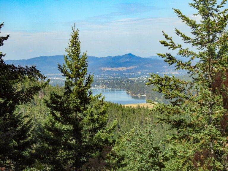 Hiking the Liberty Lake Loop Trail
 Visiting Spokane’s South Perry Neighborhood
 Visiting The Pullman Junk Castle
 Spending a Day in Cheney Washington
Questions people ask
What counties are in Eastern Washington?
On the state road map, seven: Adams, Ferry, Lincoln, Pend Oreille, Spokane, Stevens and Whitman. In everyday talk, people use Eastern Washington for everything east of the Cascades.
What are the biggest cities in Eastern Washington?
Spokane is the largest and the second largest city in the state. Spokane Valley comes next, then Pullman, Cheney and Liberty Lake.
Is Walla Walla in Eastern Washington?
Most people would say yes. The state map puts Walla Walla County in South Central Washington, along with Yakima and the Tri-Cities.
Is the Palouse in Eastern Washington?
Yes. Most of the Washington Palouse is in Whitman County, around Pullman and Colfax, and it continues across the line into Idaho.
Which Eastern Washington towns are worth a stop?
Colfax, Davenport, Ritzville, Kettle Falls and Newport are good places to start. The towns section above lists every town we cover that does not have its own guide yet.
Do I need a pass to visit the parks here?
Washington State Parks, including Mount Spokane and Steptoe Butte, need a Discover Pass. Lake Roosevelt is a national recreation area with its own fees.
Counties
Adams County · Ferry County · Lincoln County · Pend Oreille County · Spokane County · Stevens County · Whitman County
Explore Washington's other regions
- Northwest Washington
- Olympic Peninsula and South Sound
- Southwest Washington
- North Central Washington
- South Central Washington
Region boundaries come from the Washington State Department of Transportation, and every listing gets its region from its county. See how the six regions work.
- About the Author
- Latest Posts
Explore Washington State has been covering the real Washington for more than a decade. State parks, small towns, back roads, rest stops, and the people who make this place worth exploring. What started as a hyperlocal project covering individual communities grew into a full media project with more than 340 podcast episodes, a weekly newsletter with over 5,700 subscribers, and coverage of all 146 Washington State Parks. The content here comes from people who have actually been to these places: locals, regulars, and lifelong Washington residents who care more about getting it right than getting clicks.