
Palouse to Cascades State Park Trail Central
Region
Yakima Valley & Wine Country
Palouse to Cascades State Park Trail Central: Through Mountain Valleys and Historic Railroad Towns
Palouse to Cascades State Park Trail Central showcases Washington’s dramatic landscape transition, carrying visitors 107 miles from mountain forests through historic railroad towns to the sweeping shrub-steppe country of eastern Washington. This central section runs from the Snoqualmie Tunnel east through Ellensburg, across the recently renovated Beverly Bridge over the Columbia River, and ends at Royal City Cut-off, offering the perfect blend of railroad heritage, diverse ecosystems, and Columbia River crossings that define the heart of the cross-state trail experience.
Palouse to Cascades State Park Trail Central Fast Facts
| Feature | Detail |
|---|---|
| Location | Snoqualmie Tunnel to Royal City Cut-off |
| Length | 107 miles |
| Trailheads | Hyak, Easton, South Cle Elum, Thorp, Ellensburg, Kittitas, Army West, Army East |
| Key Features | Beverly Bridge, historic depots, Keechelus Lake, Yakima River Canyon |
| Surface | Light gravel, gentle grade |
| Elevation Range | Mountain lakes to Columbia River crossing |
| Hours | 6:30 a.m. to dusk (summer), 8 a.m. to dusk (winter) |
| Permits | Required for Army West to Army East section |
| Activities | Hiking, cycling, horseback riding, rock climbing |
| Difficulty | Easy to Moderate |
Park Overview
The Central section represents the transitional heart of the Palouse to Cascades State Park Trail, where visitors experience Washington’s incredible geographic diversity as the trail descends from alpine lake country through the Upper Yakima River Canyon into the Columbia Basin’s shrub-steppe landscape. Beginning at the famous Snoqualmie Tunnel, this section showcases the engineering marvels of the historic Milwaukee Road while traversing some of the state’s most scenic and historically significant terrain.
52 Things to Do at Washington State ParksA free printable checklist: one adventure per week for a full year.
Get the Free ChecklistThis 107-mile journey takes travelers past pristine mountain lakes including Keechelus and Easton, through charming railroad towns like South Cle Elum with its preserved depot and museum, and across the dramatic Beverly Bridge spanning the Columbia River. The trail passes through the U.S. Army Yakima Training Center, offering rare public access to pristine shrub-steppe habitat where visitors can observe sage grouse and other wildlife species found nowhere else in the state.
Activities & Recreation
| Activity | Details | Season | Difficulty |
|---|---|---|---|
| Hiking | Multi-day or day hikes through diverse landscapes | Year-round | Easy to Moderate |
| Cycling | Popular bikepacking route with historic stops | Spring-Fall | Moderate |
| Rock Climbing | Vantage climbing area with 700+ routes | Spring-Fall | Varied |
| Horseback Riding | Designated equestrian access with camping | Spring-Fall | Easy to Moderate |
| Wildlife Viewing | Sage grouse, raptors in shrub-steppe habitat | Spring-Summer | Easy |
| Photography | Historic trestles, Beverly Bridge, depot buildings | Year-round | Easy |
| Cross-country Skiing | Winter access near Keechelus Lake area | Winter | Easy to Moderate |
Facilities & Amenities
The Central section offers varied facilities reflecting its diverse landscapes and historic significance. The South Cle Elum Depot houses a museum showcasing Milwaukee Road history and can be toured by calling (509) 856-4121. Modern restroom facilities and water are available at multiple trailheads including Hyak, Easton, South Cle Elum, and Army access points. The renovated Beverly Bridge provides spectacular Columbia River views and represents a major trail connection achievement. Vault toilets are strategically placed along the trail corridor, though water sources become limited in eastern sections. The U.S. Army Yakima Training Center requires registration at kiosks for the free permit needed to traverse this 20.6-mile section.
Camping & Accommodations
Primitive first-come, first-served camping is available at Cold Creek, Roaring Creek, and Ponderosa Pines campgrounds, each offering three to four campsites with picnic tables and vault toilets accessible only by foot or bicycle. For full-service camping, Lake Easton State Park provides 90 standard sites and 45 utility hookups with reservations available May 15 through September 15. Wanapum Recreation Area near the Beverly Bridge offers 50 utility hookup sites and watercraft access. Dispersed camping opportunities exist at Beverly Dunes OHV Area and Lenice Lake, though visitors must come prepared with water. Additional U.S. Forest Service campgrounds including Tinkham, Denny Creek, and Lake Kachess provide mountain camping options near the western portion.
Planning Your Visit
The Central section requires more planning than typical day hikes due to its length and remote sections. The Army West to Army East portion mandates free permits available at trailhead kiosks, while the Beverly Bridge represents a major milestone reopened in April 2022 after $5.5 million in renovations. Multiple access points allow for day hiking or section hiking, with Ellensburg serving as an excellent resupply point for long-distance travelers. S
pring through fall provides optimal conditions, though winter cross-country skiing is popular near Keechelus Lake. Rock climbers should note that Vantage offers over 700 climbing routes but requires understanding of climbing safety and regulations. To learn about the West section of the Palouse to Cascades State Park Trail follow this link. For information on the East section click here.
What to Bring & Know
• Free Army permit registration required at kiosks for Yakima Training Center section
• Water treatment supplies essential as reliable sources become limited eastward from Lake Easton
• Current weather conditions for Beverly Bridge, as Columbia River winds can be significant
• Historical depot tour information, with South Cle Elum Depot requiring advance scheduling
• Climbing gear and permits if accessing Vantage area routes
Final Word
Palouse to Cascades State Park Trail Central delivers an unmatched journey through Washington’s heartland, combining railroad history, diverse ecosystems, and the triumph of the Beverly Bridge crossing to create the defining section of America’s longest rail trail.
Trip Planning
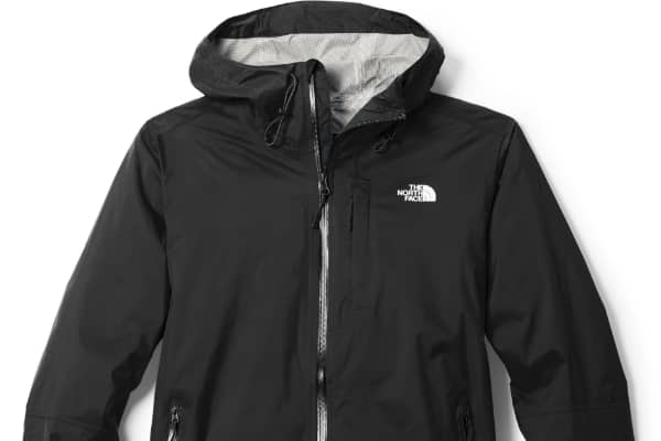
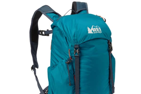
What to Pack
Required Pass
Required for parking at all Washington State Parks. One pass covers your vehicle for a full year.
$46.99
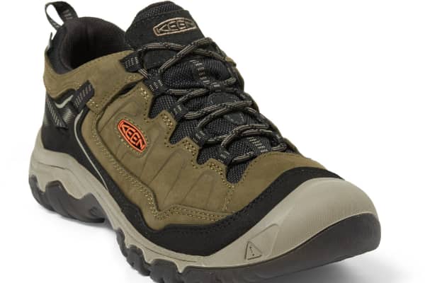
Hiking Gear
Some links on this page are affiliate links. If you purchase through them, Explore Washington State may earn a small commission at no extra cost to you. We only recommend gear we believe in.
Washington State Parks Directory
The Washington State Parks Directory covers all 146 state parks across Washington — from saltwater shores and mountain meadows to ancient lava tubes and desert canyons. Find trails, camping, activities, and detailed visitor information for every park in the state.
Browse All Washington State Parks