Hiking Saddle Rock in Wenatchee
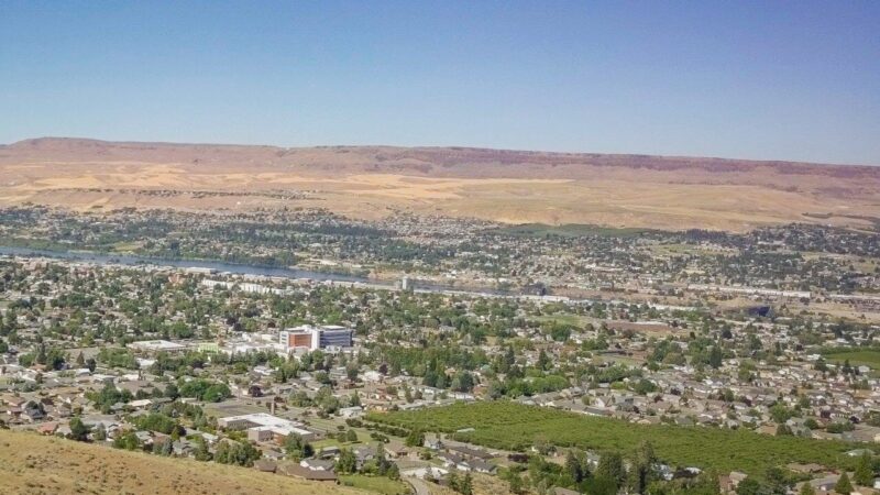
One of the rewards for hiking Saddle Rock is to take in the sweeping panoramic views of Wenatchee, Saddle Rock is a city landmark and is an easily accessible hike that’s just a 10-minute drive from downtown. Ranging from two to three-and-a-half miles round trip, this Wenatchee trail is great for children and adults alike.
Trail running, hiking and mountain biking are all possibilities on the mountainside. In the winter months, snowshoeing is possible for the experienced, making this a year-round Washington hike.
Trail Uses and Pet Restrictions
Your four-legged furry friend is also welcomed on this leisurely but steep hike. Together you can peak up to 2,000 feet with 920 feet gain in elevation. If you forgot your dog bags, not to worry. Before beginning your trek there is a post where you can grab a few to take with you. Horseback riders are also welcome on this trail.
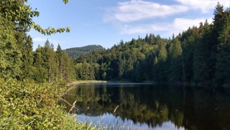
Wildflower enthusiasts and bird watchers will both be entertained on these paths, so make sure to bring your binoculars!
Saddle Rock Gateway Trailhead
The Saddle Rock Gateway Trailhead has enough space for buses to drop off students, a bathroom and an outdoor amphitheater classroom at their disposal. The new Gateway Trailhead also includes over 80 parking slots.
This ever-growing popular Saddle Rock trail now has an estimated 10,000 visitors a year, according to the Parks, Recreation and Cultural Services director, David Erickson. Keeping things convenient and easy, the city has installed boards before the start, that give visitors a quick history lesson of the trails in both English and Spanish.

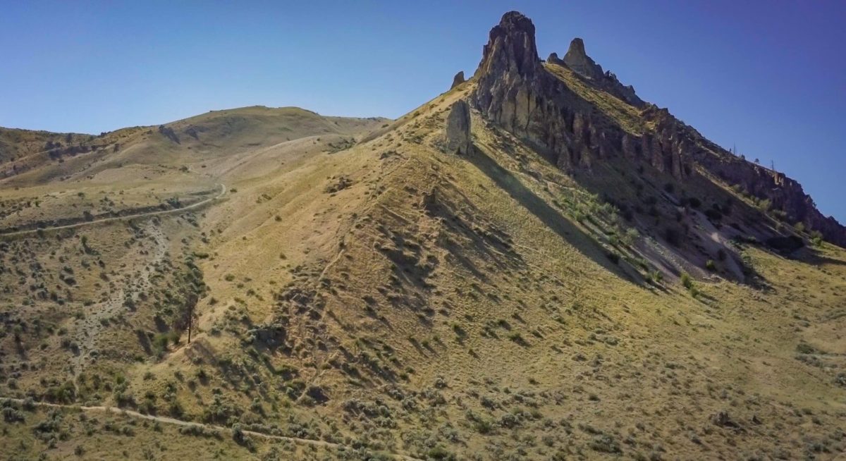
Here is your reward for hiking saddle rock
At the very top of Saddle Rock you will be rewarded with sweeping panoramic views of Wenatchee, the Columbia River, the North Cascades and the Rocky Reach Dam.

Saddle Rock Trailhead Options
There are multiple trailheads for Saddle Rock. The south trail (main trail) is just over one mile round trip with a 950-elevation gain. To get there, park in the Circle Street area and simply follow the old jeep road all the way to the top.
The east trail is closer to two miles round trip, with a 1,228- elevation gain. This route takes you below the face of Saddle Rock before you summit from the north side, and can be combined with the main trail for a longer hike. To get here, begin at the Circle Street parking lot.
To get to the northern trail, head toward the Wenatchee Racquet and Athletic Club via Skyline Drive West, turn left and there will be a sign pointing to where hikers can park. Once parked, head back to Skyline Drive West and there will be a trail sign.
What stories do you have about hiking Saddle Rock? Share your adventure in the comment section below.
Happy hiking!