
Columbia Plateau State Park Trail
Region
Eastern Washington
Columbia Plateau State Park Trail: Eastern Washington’s Ice Age Flood Showcase on Historic Railroad Right-of-Way
Columbia Plateau State Park Trail transforms 130 miles of abandoned 1908 Spokane, Portland & Seattle Railway corridor into eastern Washington’s premier geological adventure, where visitors witness stark reminders of one of the world’s largest volcanic fields carved by cataclysmic Ice Age floods while traversing the unique channeled scablands landscape from Cheney to the Snake River confluence. This 3,876-acre linear park offers two distinct trail experiences including a paved 3.75-mile section perfect for families and inline skating, plus 19.25 miles of crushed rock wilderness passing directly through Turnbull National Wildlife Refuge where more than 200 bird species including trumpeter swans create exceptional wildlife viewing opportunities along semi-arid shrub-steppe terrain dotted with ancient flood-carved basalt formations.
Columbia Plateau State Park Trail Fast Facts
| Feature | Detail |
|---|---|
| Location | Cheney to Pasco, spanning 5 counties in eastern Washington |
| Address | 100 S.W. Main St., Washtucna, WA 99371 (main office) |
| Total Length | 130 miles on abandoned railroad right-of-way |
| Developed Sections | 23 miles (Fish Lake to Martin Road) and 15 miles (Franklin County) |
| Size | 3,876 acres |
| Trail Surface | 3.75 miles paved (Fish Lake to Cheney), 19.25 miles crushed rock |
| Historic Railway | 1908 Spokane, Portland & Seattle Railway corridor |
| Geological Features | Channeled scablands from Ice Age floods and 15-million-year-old basalt flows |
| Wildlife Refuge | Passes through 4.75 miles of Turnbull National Wildlife Refuge |
| Highest Point | Milepost 358 (highest elevation between Portland and Spokane) |
| Major Access Points | Fish Lake, Cheney, Amber Lake, Martin Road, Snake River Junction, Ice Harbor Dam |
| Activities | Hiking, bicycling, horseback riding, inline skating, wildlife viewing, cross-country skiing |
| Railroad Remnants | Historic trestles including 1908 Burr Canyon Trestle |
| Hours | 6:30 AM to dusk year-round |
| Contact | (509) 646-9218 (south office), (509) 465-5064 (north portion) |
Park Overview
Columbia Plateau State Park Trail occupies a dramatic geological corridor where visitors experience firsthand evidence of the world’s largest volcanic field transformed by cataclysmic Ice Age floods, creating the distinctive channeled scablands landscape that makes eastern Washington unique among North American terrains. The trail follows the abandoned 1908 Spokane, Portland & Seattle Railway right-of-way, which the Burlington Northern Company operated until 1987 before Washington State Parks acquired this linear treasure in 1991, preserving both the area’s railroad heritage and its extraordinary geological story spanning 15 million years of volcanic activity and massive flood events comparable to today’s Great Lakes unleashed when ice dams burst in northern Idaho.
52 Things to Do at Washington State ParksA free printable checklist: one adventure per week for a full year.
Get the Free ChecklistThe park’s character emerges from its dual nature as both historical transportation corridor and natural showcase, where interpretive panels along the route explain how dozens of flood events carved basalt buttes, canyons, and scabland formations while railroad remnants including the historic Burr Canyon Trestle built in 1908 remind visitors of the engineering feat required to traverse this challenging landscape. This unique combination creates educational opportunities ranging from understanding massive lava flows that buried eastern Washington under a sea of basalt to witnessing how Ice Age floods sculpted the terrain into the stark, beautiful channeled scablands that define the Columbia River Plateau’s distinctive geography.
Activities & Recreation
| Activity | Details | Season | Difficulty |
|---|---|---|---|
| Hiking | 23 developed miles plus undeveloped sections to Snake River | Year-round | Easy to Moderate |
| Bicycling | Paved section plus crushed rock trails | Year-round | Easy to Moderate |
| Inline Skating | 3.75-mile paved section from Fish Lake to Cheney | Year-round | Easy |
| Wildlife Viewing | 200+ bird species in Turnbull refuge, trumpeter swans | March-May, Sept-Nov peak | Easy |
| Horseback Riding | Crushed rock sections, equestrian facilities at trailheads | Year-round | Easy to Moderate |
| Cross-Country Skiing | Northern sections when snow conditions permit | Winter | Moderate |
| Snowshoeing | Northern trail sections during winter | Winter | Moderate |
| Railroad History | Historic trestles, interpretive panels, abandoned infrastructure | Year-round | Easy |
Columbia Plateau State Park Trail’s signature experience combines geological education with outdoor recreation, where the paved 3.75-mile section from Fish Lake to Cheney offers accessible inline skating and family cycling while the remaining 19.25-mile crushed rock section provides wilderness hiking and equestrian access through increasingly remote terrain toward Martin Road. The trail’s passage through Turnbull National Wildlife Refuge creates exceptional wildlife viewing opportunities, especially during spring migration from March through May and fall migration from September through November when visitors may witness the famous trumpeter swans along with elk, deer, moose, and more than 200 documented bird species in early morning and evening hours when wildlife activity peaks.
Facilities & Amenities
Columbia Plateau State Park Trail provides comprehensive trailhead facilities at six major access points including parking for both vehicles and horse trailers, restrooms, picnic shelters with tables, and informational kiosks explaining the area’s geological and railroad history. Specialized amenities include equestrian highlines at Amber Lake and Martin Road trailheads, drinking fountains at select locations, and interpretive panels throughout Turnbull National Wildlife Refuge that educate visitors about Ice Age floods, volcanic geology, and wetland ecosystems. The trail’s design accommodates diverse users with ADA-accessible sections, directional signage connecting to major highways, and facilities positioned to support both day trips and longer wilderness excursions along the historic railroad corridor.
Camping & Accommodations
Columbia Plateau State Park Trail is day use only.
Planning Your Visit
Columbia Plateau State Park Trail operates from 6:30 AM to dusk year-round with Discover Pass required for vehicle access to trailheads, though no additional trail usage fees apply for this day-use park experience. The trail’s remote eastern Washington location requires careful preparation including ample water and food supplies, as public facilities become scarce along the route and summer temperatures often exceed 100 degrees Fahrenheit with limited shade available. Access points are strategically positioned along Interstate 90 with clear directional signage, though visitors should plan routes carefully as crossroads are rare and the undeveloped southern sections toward the Snake River require advanced preparation and self-sufficiency for safe exploration of this challenging but rewarding geological showcase.
What to Bring & Know
- Extra water and food supplies essential for trail’s remote eastern Washington location with limited facilities and extreme summer heat exceeding 100°F
- Maps, compass, and navigation tools for longer excursions as crossroads are rare and undeveloped sections lack clear marking systems
- Early morning or evening timing recommended for optimal wildlife viewing in Turnbull National Wildlife Refuge when animals are most active
- Geological curiosity to appreciate Ice Age flood evidence and 15-million-year-old basalt formations that create the distinctive channeled scablands landscape
- Railroad history interest to understand the 1908 Spokane, Portland & Seattle Railway heritage and remaining trestles along the corridor
Final Word
Columbia Plateau State Park Trail delivers an unparalleled combination of geological education and outdoor adventure, where the dramatic evidence of Ice Age floods carving through ancient volcanic landscapes creates eastern Washington’s most spectacular showcase of natural forces along a historic railroad corridor rich with both scientific and transportation heritage.
What to Do
Activities
Trip Planning
What to Pack
Required Pass
Required for parking at all Washington State Parks. One pass covers your vehicle for a full year.
$46.99
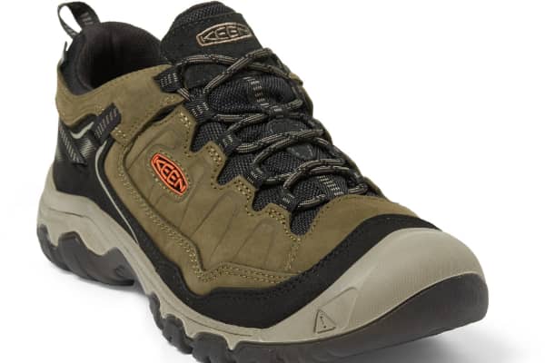
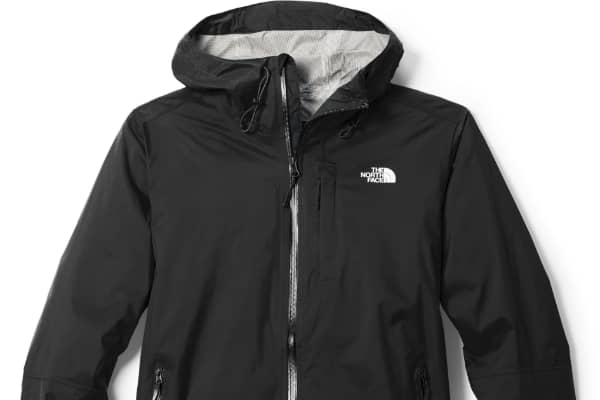
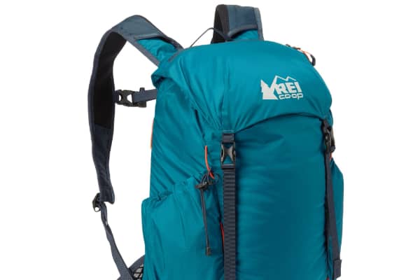
Hiking Gear
Some links on this page are affiliate links. If you purchase through them, Explore Washington State may earn a small commission at no extra cost to you. We only recommend gear we believe in.
Washington State Parks Directory
The Washington State Parks Directory covers all 146 state parks across Washington — from saltwater shores and mountain meadows to ancient lava tubes and desert canyons. Find trails, camping, activities, and detailed visitor information for every park in the state.
Browse All Washington State Parks